
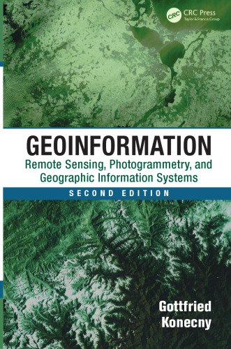
خرید و دانلود نسخه کامل کتاب Geoinformation: Remote Sensing, Photogrammetry and Geographic Information Systems
اطلاعات جغرافیایی: سنجش از دور ، فتوگرامتری و سیستم های اطلاعات جغرافیایی
Geoinformation: Remote Sensing, Photogrammetry and Geographic Information Systems
نویسنده: Konecny, Gottfried
ناشر: CRC Press
سال انتشار: 2014
تعداد صفحات: 452
زبان: English
فرمت: pdf - قابل تبدیل به سایر فرمت ها
حجم فایل: 19 مگابایت
109,000 تومان
77,000 تومان