
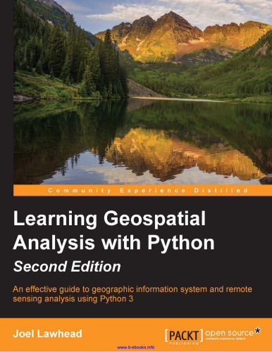
خرید و دانلود نسخه کامل کتاب Learning Geospatial Analysis with Python, 2nd Edition: An effective guide to geographic information systems and remote sensing analysis using Python 3
یادگیری تجزیه و تحلیل موقعیت مکانی با پایتون ، ویرایش 2: راهنمای مؤثر برای سیستم های اطلاعات جغرافیایی و تجزیه و تحلیل سنجش از دور با استفاده از پایتون 3
Learning Geospatial Analysis with Python, 2nd Edition: An effective guide to geographic information systems and remote sensing analysis using Python 3
نویسنده: Joel Lawhead
ناشر: Packt Publishing
سال انتشار: 2015
تعداد صفحات: 394
زبان: English
فرمت: pdf - قابل تبدیل به سایر فرمت ها
حجم فایل: 13 مگابایت
102,000 تومان
64,000 تومان